Orneta 2010-03-22
Orneta airport.
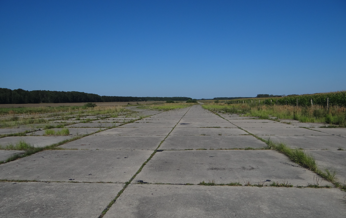
Basic data of Orneta Airport.
No status. Only on public roads there are boards about the possibility of meeting planes. Coordinates / Coordinates N54 ° 07'43.2 "E20 ° 05'40.3" Elevation / Elevation 175 ft. RWY direction 062/242 Originally with dimensions of 2,000 m x 50 m. There was a designated area of 1,000 m x 15 m.
Written by Karol Placha Hetman