Krosno 2018-12-22
The Krosno airport.
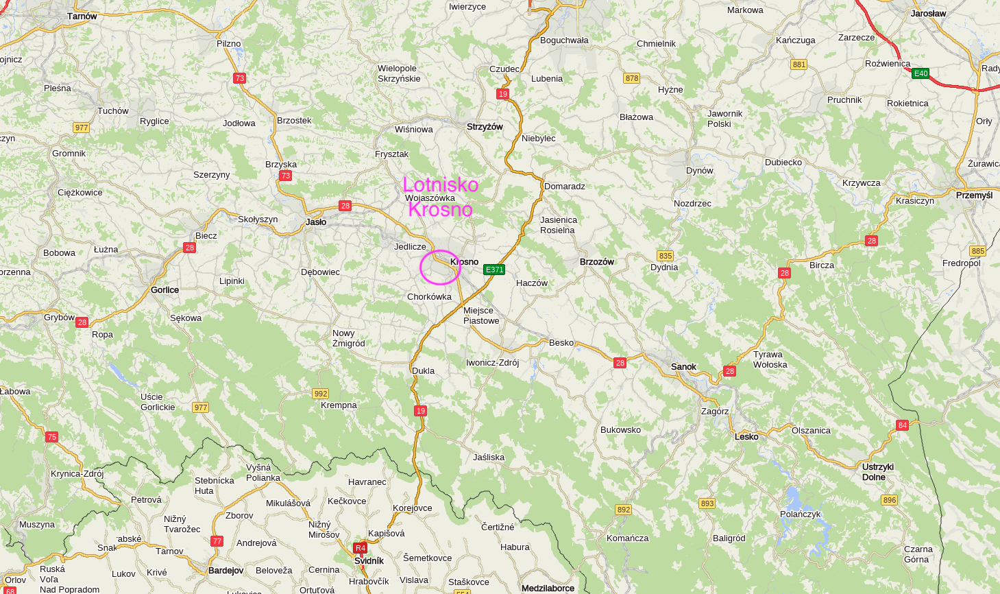
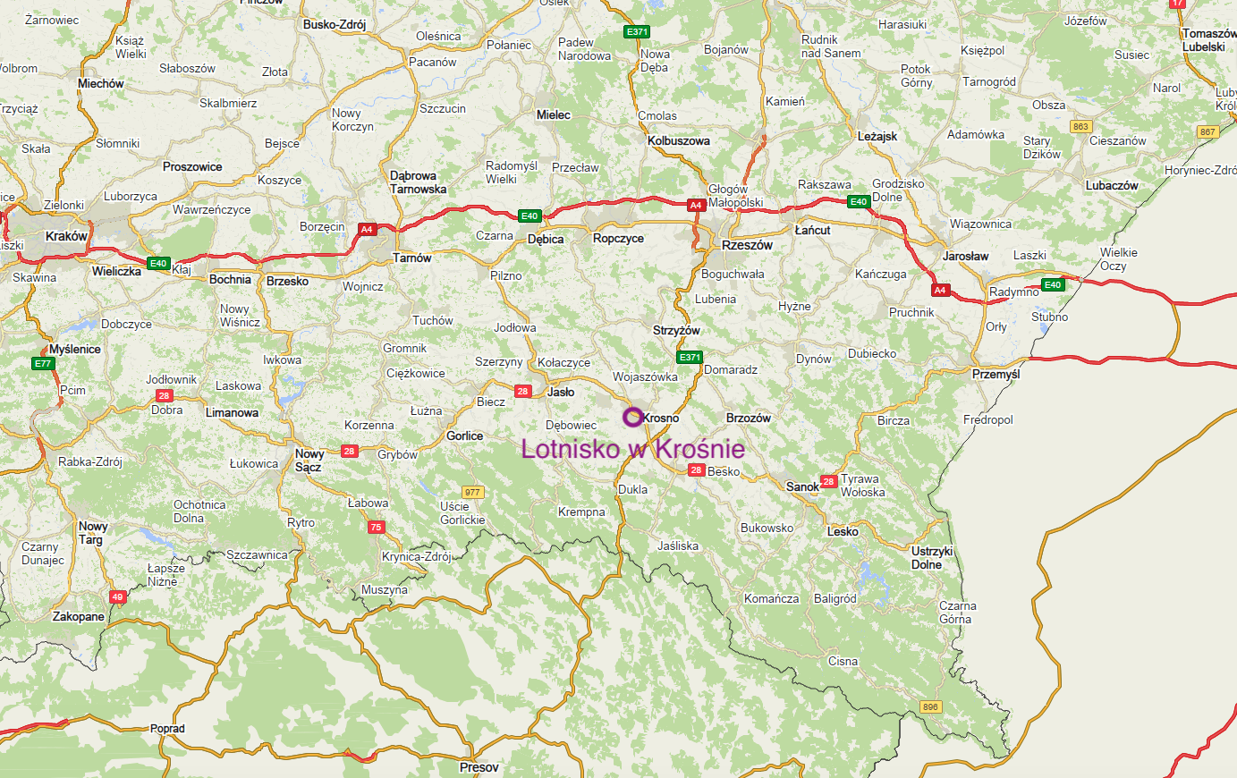
Infrastructure of the Krosno airport.
Geographic coordinates: 49 ° 40′59.05 ″ N 21 ° 44′01.11 ″ E. The airport is located at an altitude of 280 m above sea level. (919 ft). IATA airport code - KRO. ICAO airport code - EPKR.
The airport has been listed in the state register (currently the Civil Aviation Authority) under item 20, registration number 22 since 1969 year. RWY 112/292 (11R / 29L), 1100 x 30 m asphalt, N49 ° 40'45.2 "E21 ° 44'42.0". In addition to the hard RWY, there are also dirt runways in other directions.
Written by Karol Placha Hetman