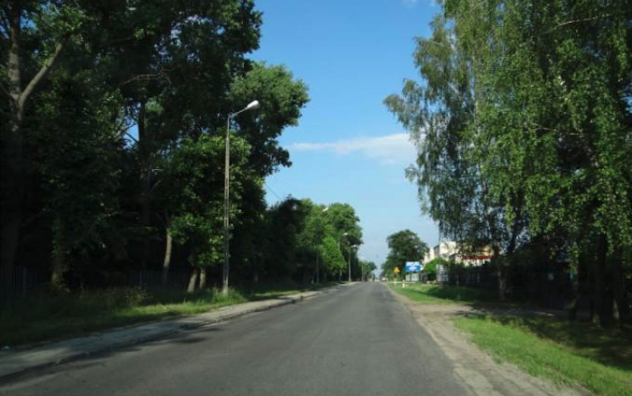
Nowe Miasto nad Pilicą 2014-10-09
The end of the Polish Military Aviation at the airport.
At the end of the nineties of the twentieth century, a full inventory of the airport was carried out, including the arrangement of property rights. A land and mortgage register no. 66224 kept by the 5th Division of Land and Mortgage Registers of the District Court in Grójec was prepared for the land and construction infrastructure. The book contains 8 undeveloped plots with a total area of 16.8635 hectares and 26 built-up plots with a total area of 450.0668 hectares. Undeveloped plots are mainly internal roads. The airport had a total area of 513.01 hectares. There were 89 buildings and structures with a total usable area of 25,301 square meters and a total cubic capacity of 145,624 cubic meters.
After the Polish Army left the airport, the owner of the facility was the Military Property Agency. The government of the Republic of Poland decided to put up for sale (or lease) the airports not used by the military. They are divided into two categories; those airports which had to remain aviation character and without such requirement. The Nowe Miasto nad Pilica airport did not have to retain its aviation character.
A complete offer for the sale of the former military airport appeared in the period 2002-2005. The military postulated the following development proposals; production activities, agri-food processing, service activities, recreation and leisure activities, forwarding and storage facilities, individual housing construction. The fog airport may be utilized in segments or entirely, losing its aviation character. It was possible to keep the airport as a passenger and cargo airport, which was unrealistic in the absence of a wealthy investor. Due to the lack of a strong industry, this region is not a wealthy one. Additionally, poor road and rail connections with other cities did not affect the development of commercial aviation.
On December 31, 2003, a new spatial development plan for the Town and Commune of Nowe Miasto nad Pilica came into force. In this plan, the airport area was treated as special and dependent on future investors' offers.
Movie town. Design. 2007 year.
One of the possibilities for the development of the former airport was the proposal to use its huge area as a movie town. The proposal was interesting and worth taking, the more so as there is no such facility in Poland.
On June 13, 2007, a commitment was made to build by 2010, at the site of the former Film City Airport. Its total area was to be 467 hectares. The construction cost was estimated at up to USD 100 million (PLN 400 million). As part of it, 10 halls with film studios were to be built. There were plans to build a Decoration Building Plant, a stable, a facility for small animals, a greenhouse, a rental of costumes, weapons, vehicles, props and casting studios in the town.
They were involved in the project, among others; Polish Filmmakers Association, Polish Film Institute, Minister of Culture and National Heritage Kazimierz Michał Ujazdowski, Minister of National Defense Aleksander Szczygło, Prime Minister Jarosław Kaczyński.
Unfortunately, when the Civic Platform and Polish People's Party coalition came to power in the fall of 2007, the plan was abandoned. Prime Minister Donald Tusk started introducing Milton Friedman's economics. They privatized everything possible while liquidating state structures. They used nepotism and cronyism widely. They did not promote the state's support for art.
Passenger and cargo airport. Design.
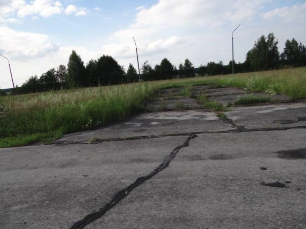
When in 2000, the Aviation Regiment was disbanded, no one thought that these beautiful, well-kept areas would be devastated within 12 years. The funds invested there, the work of many generations of people and the wealth created in this way will be wasted. Today (2012) the image of the airport is unpleasant. The object, supposedly protected, is systematically devastated. Some of the property was stolen or thoughtlessly destroyed.
Since 2007, the City Council has been making efforts to take over the land from the Military Property Agency. Initially, these plots were located along Tomaszowska Street, and then the entire area of the unit. Unfortunately, the Agency divided the area into parts: over 80 ha along ul. Tomaszowska was left in her possession, and it was decided to transfer 435 ha to the commune.
On December 24, 2008, the ordinance entered into force, which made it possible to take over these areas in the form of a donation, while maintaining the aviation function. Potential investors came to the commune. One of the American shipping companies wanted to invest a lot of money here. However, the Americans did not have time for the long wait. They called once or half a year later and stated that the commune was not a partner for talks, as it did not have the ownership of the land.
There was still a chance to use the Airport for the purpose for which it was built. Establishing an airport is real, provided the central authorities get involved. It is true that the current access to the facility is unfavorable and difficult. However, the proximity of the Central Railway Main Line and the possibility of connecting the planned motorways and expressways may quickly eliminate this inconvenience. Nevertheless, the Nowe Miasto nad Pilica airport may still be built.
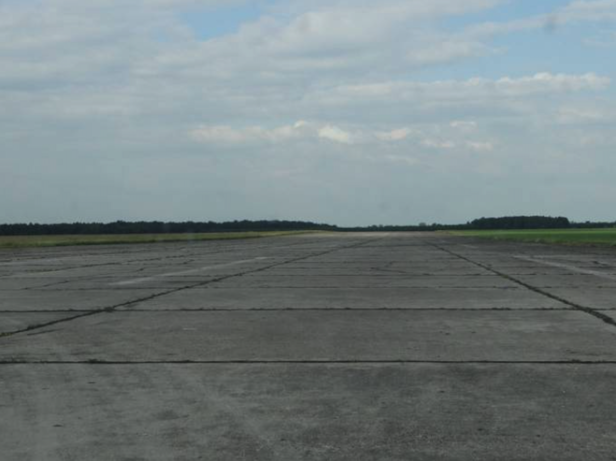
Register of the Nowe Miasto nad Pilica airport. 2012 year.
Nowe Miasto nad Pilica airport is still assigned the ICAO code - EPNM. Still (2012) waiting for development. Radio frequencies, both Port and Square - none. Geographical coordinates; north longitude 51 ° 37'39 "N, east latitude 20 ° 32'09" E.
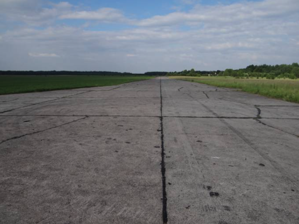
Runway RWY; The height of 156 m above sea level. Direction 08/26, which is almost east-west. Dimensions 2 400 m x 60 m. Concrete surface. In 2012, RWY was still in good condition.
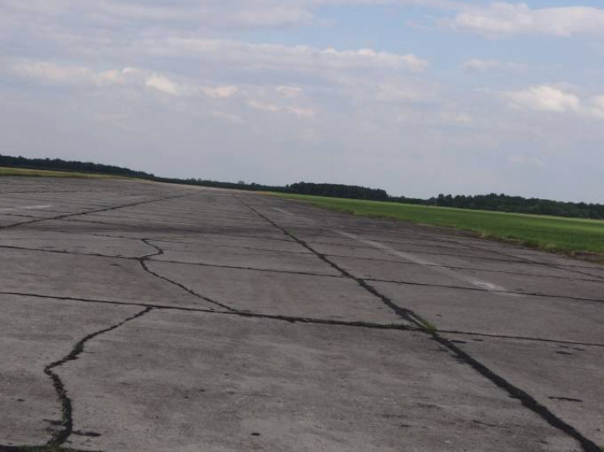
The airport also has a good taxiway network (DK). One main, located on the south side of the RWY, and four connectors. Their total length is approximately 3,200 m, and their area is approximately 64,000 square meters.
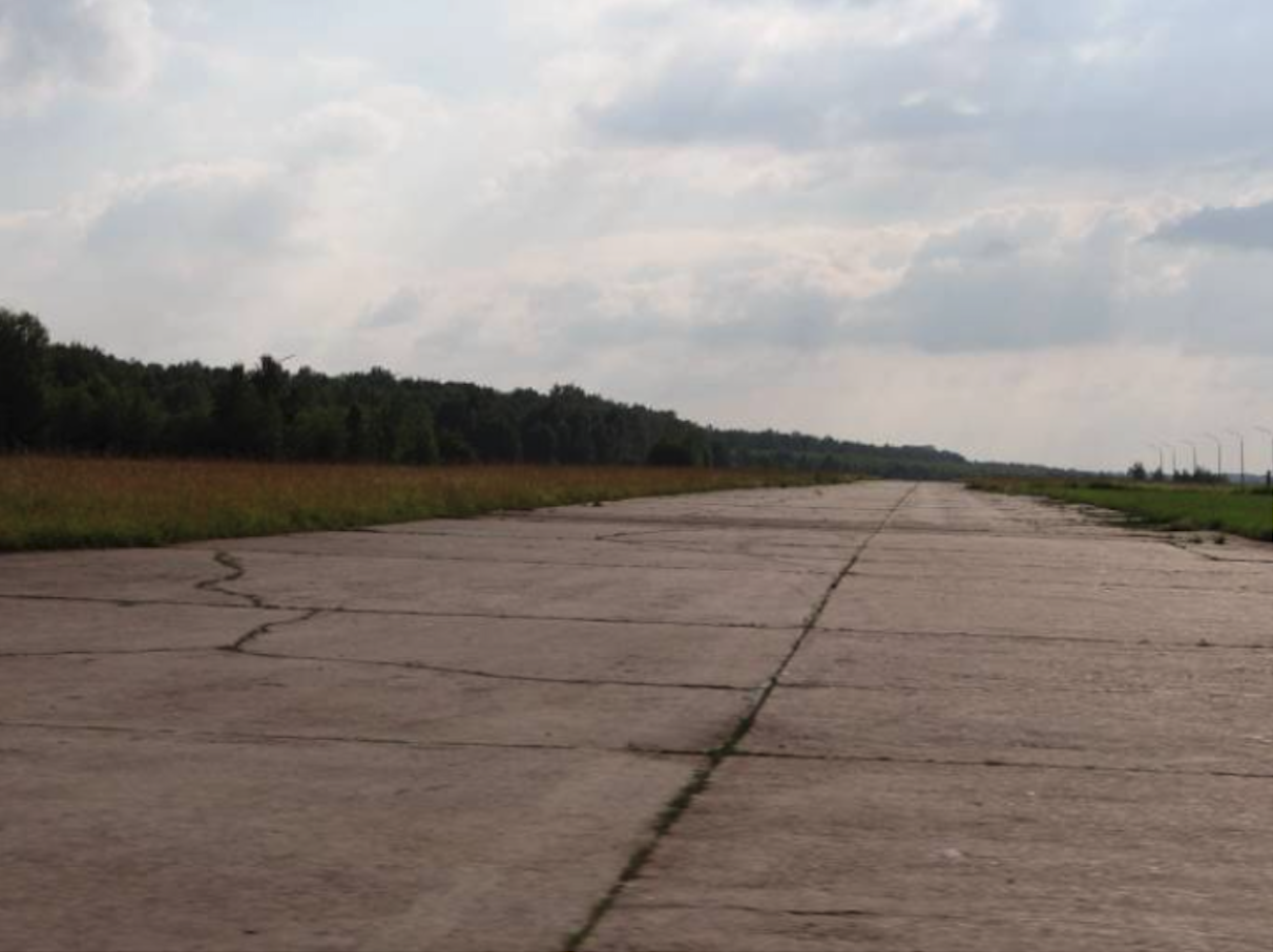
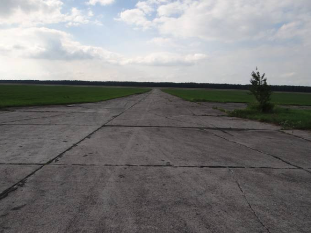
The airport has four parking planes and numerous individual stands. They all have a concrete surface. Their total area is nearly 40,000 square meters.
Despite the fact that there were no combat regiments based at the airport, the facility could receive combat units at any time. Therefore, there was a centering zone for planes at the airport. However, it was not equipped with shelter-hangars. Individual sites were used there, surrounded by embankments on all sides. There were 16 such positions, which corresponded to half the number of planes in the combat regiment. These posts were built around 1967.
Continued in the next article.
Written by Karol Placha Hetman