Stara Wieś 2023-02-10
The airport in Stara Wieś near Brzozów in Podkarpacie.
Geographic coordinates 49.772N 22.024E. Elevation 305 m (1,000 ft).


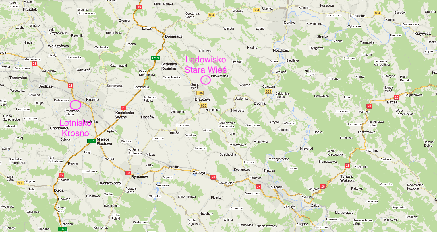
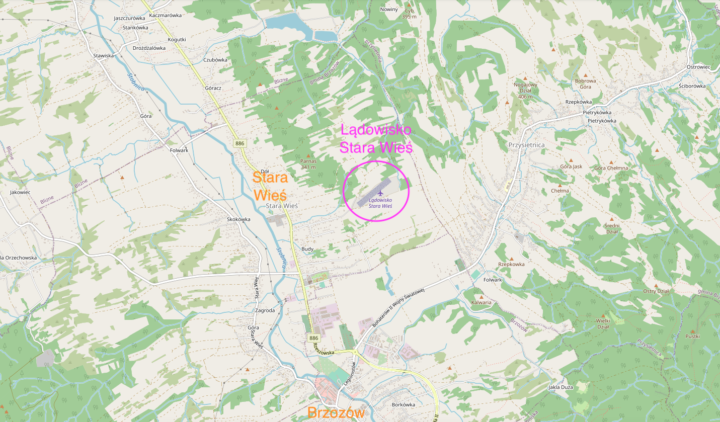
The Stara Wieś landing field (EPBW) is located in the south-eastern part of Poland, in the Brzozów commune, Podkarpackie Voivodeship. The provincial road No. 886 runs nearby. The provincial road No. 886 connects the national roads No. 19 in Domaradz and No. 28 in Zabłotki near the border of Sanok. The length of the road is 34.5 km. The road shortens the journey from the central part of the Podkarpackie Province to the Bieszczady Mountains.
The distance from Stara Wieś is to: Krosno - 25 km. Sanok - 25 km. Rzeszow - 47 km. Przemyśl - 75 km. Krakow - 180 km. Warsaw - 325 km.
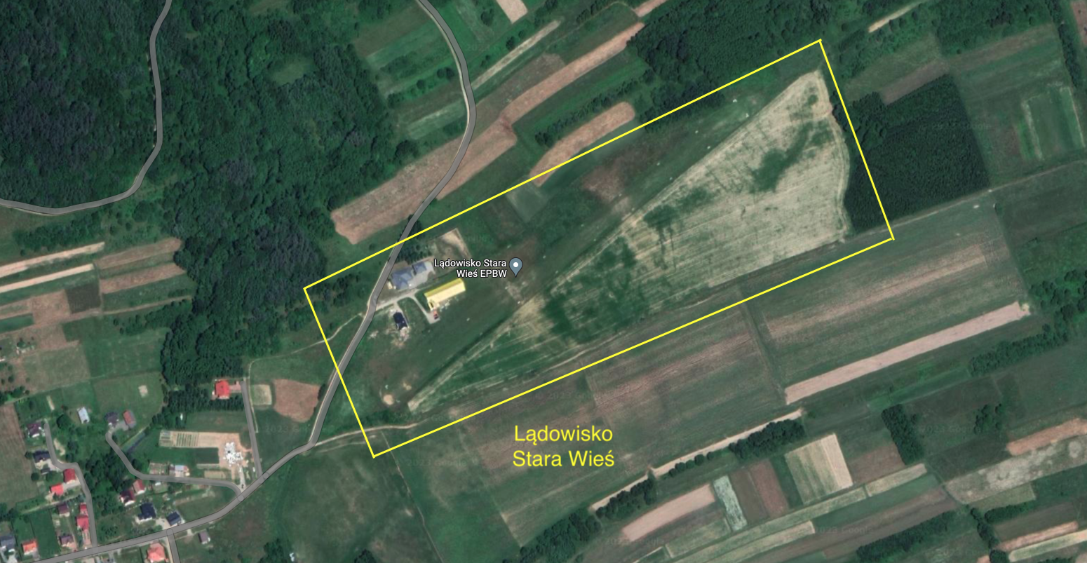
The airport in Stara Wieś in Podkarpacie is a civilian airstrip for sports and tourism purposes. Sightseeing flights over the Bieszczady Mountains are carried out from the airport. The airstrip is registered and has the ICAO code - EPBW. The airstrip is also named Blizne or Brzozów.
The helipad is located on a hill and has only one RWY with a ground surface - grass. RWY has dimensions of 550 m x 25 m, located in the direction 050/230. The runway is marked with white markers on all edges. Both ends of the RWY end with escarpments. There is a sleeve of winds at the take-off area. The hangar at the airport has a yellow roof, which makes it easier to navigate, but it is diagonal to RWY.
Before arriving, please call the owner of the heliport. The user of the airstrip is Aeroklub Podkarpacki - Aviation School, ul. Żwirki i Wigury 9, 38-400 Krosno. Radio communication - Radio 118.865 MHz. Upon prior arrangement, it is possible to hangar the aircraft. The hangar can accommodate up to 10 aircraft. The hangar is monitored. The heliport will have a hotel base, which is under preparation (2023).
Village Stara Wieś.
Stara Wieś is located in the Podkarpackie Voivodeship, in the Brzozów district, in the Brzozów commune. Geographically, it is the Dynowskie Foothills, and historically it is the Bieszczady Mountains. Stara Wieś borders with the town of Brzozów from the south. The population of the village is 3,536 inhabitants (2021).
The origins of the village date back to 1359, when King Casimir the Great granted the location act for the settlement lying on the Stobnica River, for the village of Brzozów. In 1384, the village and the nearby Domaradz were handed over as a sacrifice to the bishops of Przemyśl. The first document confirming the name Stara Wieś dates back to 1460. In the 16th century, the towns of Brzozów and Stara Wieś belonged to the Sanok Land in the Ruthenian Voivodship. In the initial period of the village's existence, it developed along the main road near the Stobnica River.
At the beginning of the 15th century, the first church was built in the village. In its place now stands the Minor Basilica of the Assumption of the Blessed Virgin Mary. The basilica in Nowa Wieś was built in the late Baroque style in the period 1730 - 1760. In 1874, the Convent of the Servants of the Blessed Virgin Mary of the Immaculate Conception was built. In 1911, a modern school building was built. In the southern part of Stara Wieś there is the College of Jesuit Fathers and the Novitiate of the Society of Jesus of the Province of Southern Poland. There is the Museum of the Society of Jesus of the Province of Southern Poland. In Stara Wieś there is a grave of the Bar Confederates. At the end of the 19th century, oil and natural gas deposits were discovered in the area.
Written by Karol Placha Hetman
